Gravimetry
-
Foundations of the containers and concrete pillars during construction.
-
Exterior view of the gravimetry container with the GEO600 labs in the Background.
-
FG5X-220 during measurements in the gravimetry container in Ruthe.
-
gPhone-98 during measurements insite the gravmetry container in Ruthe.


The observatory consists of a gravimetry building constructed in 2012 and 4 survey pillars. Because of the lack of anthropogenic disturbances (traffic, surface shaking, etc.) and the easy access, conditions are ideal for the evaluation and characterization of classical and new gravimeters. The pillars are 40 cm deep, made of prefabricated concrete with polished surface and no reinforcement. They are decoupled from the building and sit on a layer of compacted fine gravel which is 2 cm thick. Foil sheets prevent the intrusion of water and soil moisture into this layer, so that proximity effects on the gravity measurements are avoided. The building is surrounded by three monitoring wells with a depth of 10 m, one of which is continuously registered while the others are measured episodically with a hand lead. The registration shows variations of the groundwater level of less than 10 cm. Thus, local hydrological influences onto gravimetry are very small. One of the 4 pillars has an edge length of 120 cm to provide space for larger devices.
GNSS
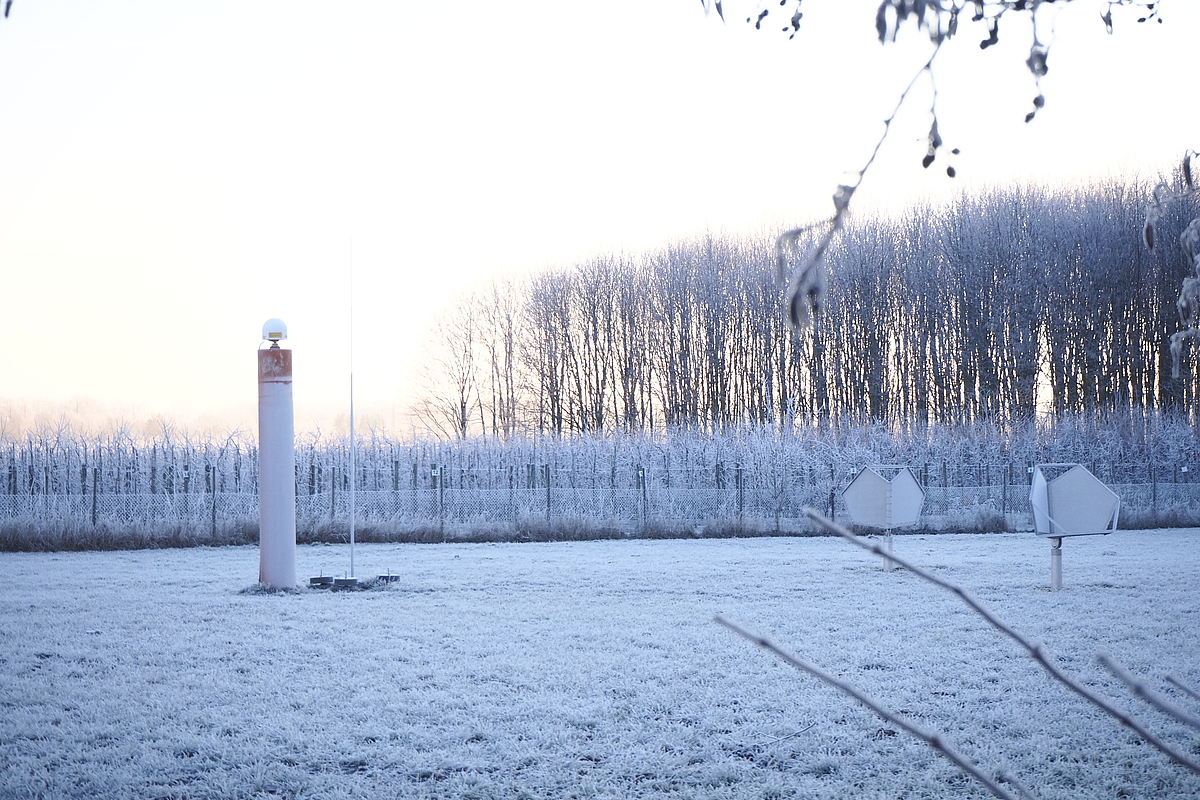
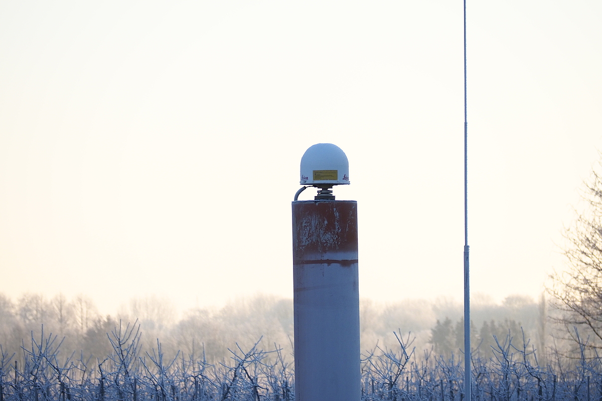
In August 2018 the new joint GNSS reference station of the Landesamt für Geoinformation und Landesvermessung Niedersachsen (LGLN) and the Institute of Geodesy became operational. The LGLN provides and maintains the GNSS equipment. IfE has installed the 7 m founded GNSS survey pillar that is also used for height monitoring by the neighbouring gravimetry building. The reference station is used among other things for the deduction of long-term stable GNSS time series. In addition the LGLN installed two reflectors for the connection of GNSS time series with data from InSAR measurements from the satellite mission Sentinel-1.
-
Der tiefgegründete GNSS-Messpfeiler mit Antenne und die beiden Retro-Reflektoren für die Satellitenmission Sentinel-1 (SAR). [Photo: R. Jackiw-Flury]
-
GNSS-Permanentstation als integraler Bestandteil des LUH-GNSS-Netzes. [Photo: R. Jackiw-Flury]
Contact
30167 Hannover

30167 Hannover


