Gravimetric reference network for a 10m atom interferometer
 © M. Schilling
| Led by: | Dr.-Ing. Manuel Schilling, Dr.-Ing. Ludger Timmen |
| E-Mail: | timmen@ife.uni-hannover.de |
| Team: | Dr.-Ing. Manuel Schilling, Dr.-Ing. Ludger Timmen |
| Year: | 2017 |
| Funding: | IfE, SFB-1128, EXC-2123 "QuantumFrontiers" |
| Duration: | 2017-2025 |
| Further information | https://www.hitec.uni-hannover.de/de/grossgeraete/atomfontaene/ |


 ©
M. Schilling
Motivation
Absolute gravimeters are used in geodesy, geophysics and physics for a wide range of applications. Especially in geophysics a stable measurement level of the gravimeter is required on time scales from a few days to decades. To monitor this temporal stability, comparisons with a metrological reference are necessary. However, as there are no gravimeters with a superior accuracy, therefore the users of these instruments take part in regular gravimeter comparisons, which are carried out according to the specifications of the Committee for Weights and Measures (CIPM). These comparisons provide the reference values of highest accuracy compared to calibration against a single gravimeter operated in a metrological institute. The construction of stationary, large-format atomic interferometers is now paving the way to a new measurement standard in absolute gravimetry. A stability of up to 1nm/s² at 1s integration time is expected.
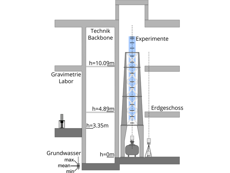
At the Hanover Institute of Technology (HITec), such a large-scale facility, the so-called Very Long Baseline Atom Interferometer (VLBAI), is being built with a 10m free fall zone for experiments. To determine the error budget and to enable the transfer of the gravity value measured in the VLBAI to other laboratories, knowledge of the local gravity field on the baseline and in the near field ofthe VLBAI is required.
Methods and current results
For this reason, a gravity net was installed in the HITec and during the construction of the VLBAI, several relative gravimetric measurements were taken. Additionally we developed a 3D model of the building to determine the gravitational effect of the masses. Furthermore, the influence of mass changes due to groundwater hydrology on the gravity field is modelled.
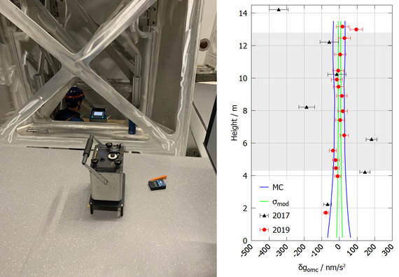
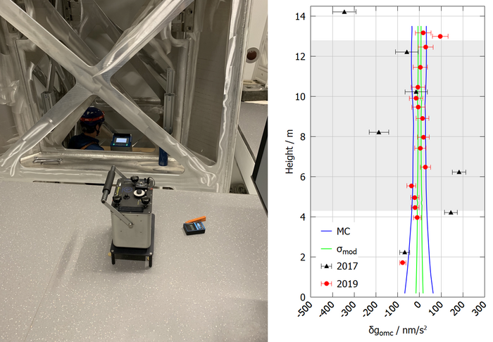
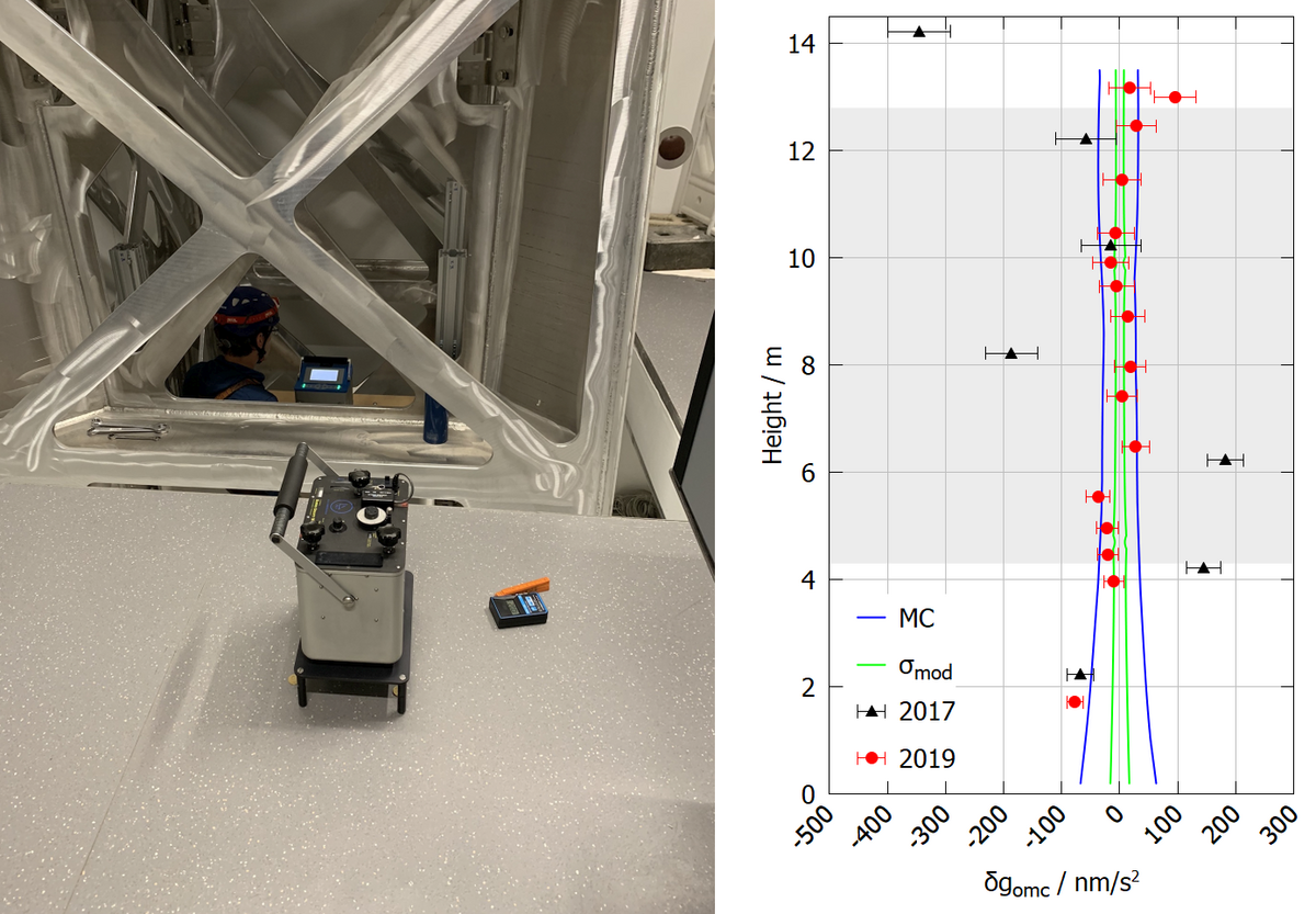
The gravitational effect of the 3D model of the building is in very good agreement with the latest gravimetric measurement campaign, which makes it possible to transmit gravitational values with an uncertainty below the level of 10 nm/s². The plot of the residuals (difference between measurements and model) also shows the result of a Monte-Carlo simulation in which the density of the building materials was varied by 5%. The plot shows the maximum values of these simulations and the standard deviation along the central axis of the VLBAI.
The photo shows the gravimetric measurements from 2019, where the CG6-0171 is placed on a platform within the support structure of the VLBAI, an aluminium tower. This platform has been shifted along the entire height of the support structure in order to perform gravity measurements at a vertical distance of about 50cm (see also building cross-section). In contrast, the measurements from 2017 were carried out on scaffolding. The significantly lower stability of this scaffold compared to the solution used in 2019 also leads to significantly worse measurement results.
On a parallel profile next to the VLBAI, measurements were made on the ground and with tripods at further heights. This second profile can still be measured with gravimeters, e.g. to confirm measurements of the VLBAI or to transfer them to other locations.
Future Work
At the end of 2019 parts of the actual instrument, the magnetic shield and the drop chamber, were installed. The model of the building must be extended to include these components. The supplemented model must then be checked again by gravimetric measurements. In the further course of the work with the VLBAI, further gravimetric measurement campaigns will be necessary.
References
Schilling. M, Wodey, E., Timmen, L., Tell, D., Zipfel, K., Schlippert, D., Rasel, E., Müller, J. (2020): Gravity Field Modeling for the Hannover 10 m Atom Interferometer, Journal of Geodesy 94:122, doi: 10.1007/s00190-020-01451-y


