Pillar Network for Positioning, Navigation and Time Applications
 ©
IfE / GIH (S. Zaddach)
©
IfE / GIH (S. Zaddach)
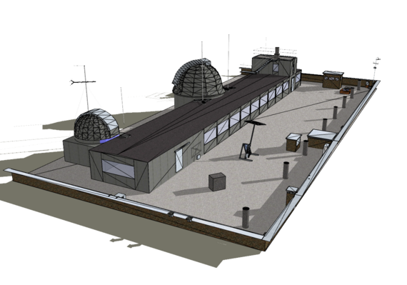
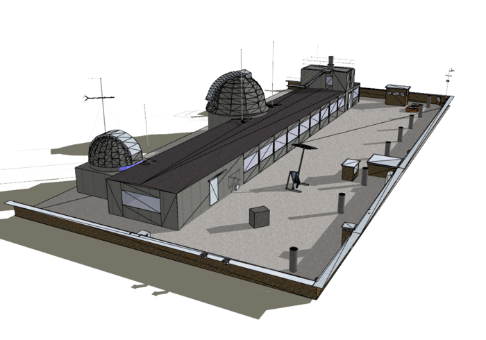
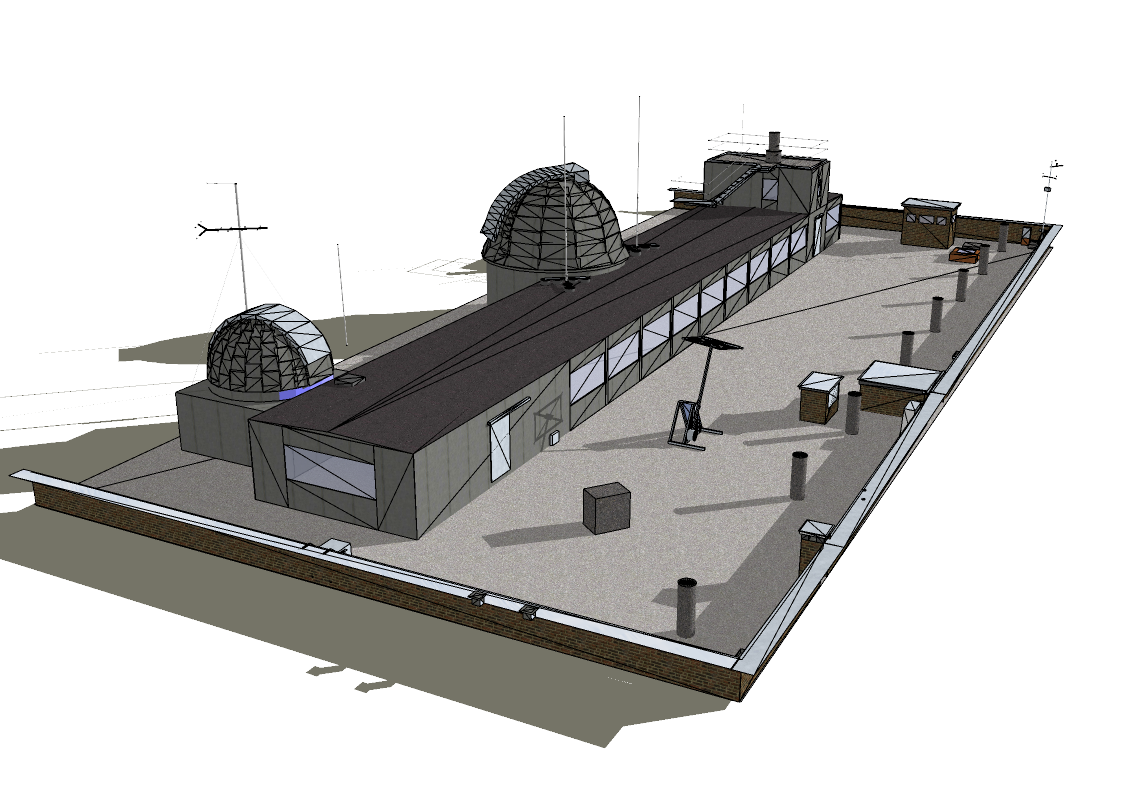
The "Messdach" is a scientific GNSS lab and is located on the "Messdach", i.e. on the rooftop of the Geodetic Institute Hannover. It can be used for calibration and field test assignments and also provides a lab environment for scientific research and qualifying student projects (specific projects, theses).
For the 10 survey pillars on the lab network precise and exact GNSS coordinates in various coordination formats (cartesian, geodetic) and coordinate systems (ITRS, ETRS89) as well as the respective mapping coordinates (UTM, Guass-Krüger) are available.
Ellipsoid (mathematical) heights as well as physical heights from the respective geodetic data can be provided.
Generally, the lab offers a high level internal net configuration consistency for coordination realisations.
Since the Institute of Geodesy and the Geodetic Institute Hannover (GIH) work very closely together, terrestrial data are available for the consistent and thorough comparison of GNSS evaluations for position and height.
Contact

 © Tobias Kersten
30167 Hannover
© Tobias Kersten


