
Commemorative Publication 30 Years IfE
PDF,
6 MB
| 01.11.1963 | Appointment of Dr.-Ing. Walter Höpke as full professor to the chair of Theoretical Geodesy, University Hannover |
| 10.11.1964 | The Institute of Theoretical Geodesy is founded with Prof. Dr.-Ing. Walter Höpcke as director |
| 01.09.1968 | Appointment of Dr.-Ing. Wolfgang Torge as full professor and as director of the Institute of Theoretical Geodesy |
| 26.10.1973 | Appointment of Dr.-Ing. Günter Seeber as full professor and as department head of the Astronomy Station |
| 01.10.1982 | The Institute of Geodesy is founded (based on the Niedersächsisches Hochschulgesetz from 1978, Chair and Institute of Theoretical Geodesy are terminated). Prof. Dr.-Ing. Günter Seeber and Prof. Dr.-Ing. Wolfgang Torge hold alternatingly the office of executive director. |
| 1996 | Retirement of Prof. Dr.-Ing. Wolfgang Torge (em.) |
| Januar-November 1999 | Appointment of Prof. Dr.-Ing. habil. Hans-Georg Wenzel to the research field Mathematical and Physical Geodesy |
| Oktober 2001 | Appointment of Prof. Dr.-Ing. habil. Jürgen Müller to the research field Physical Geodesy and Space Geodetic TechniquesPhysical Geodesy and Space Geodetic Techniques |
| Oktober 2006 | Prof. Dr.-Ing. Günter Seeber wechselt in den Ruhestand (a.D.) |
| November 2006 | Appointment of Prof. Dr.-Ing. Steffen Schön for the research field Satellite Geodesy. The denomination is changed to Positioning and Navigation - a clear indication for the continuous changes and dynamic development within Satellite Geodesy. |
| 2008 | Based on the successful cooperation with Physics at Leibniz University Hannover and the resulting excellence cluster Quantum Engineering and Space Time Research (QUEST) Prof. Dr.-Ing. Jakob Flury was appointed to the new professorship Geodetic Space Sensor Technology and Gravity Field. |
The institute's historical development has been described in more detail in several commerative publications on the occasion of special honorary events.
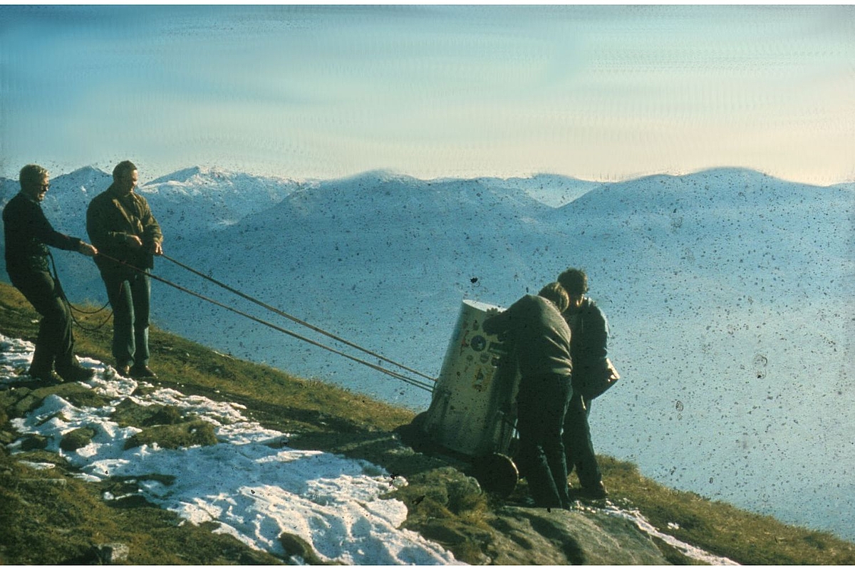
TZK measurements in Switzerland.
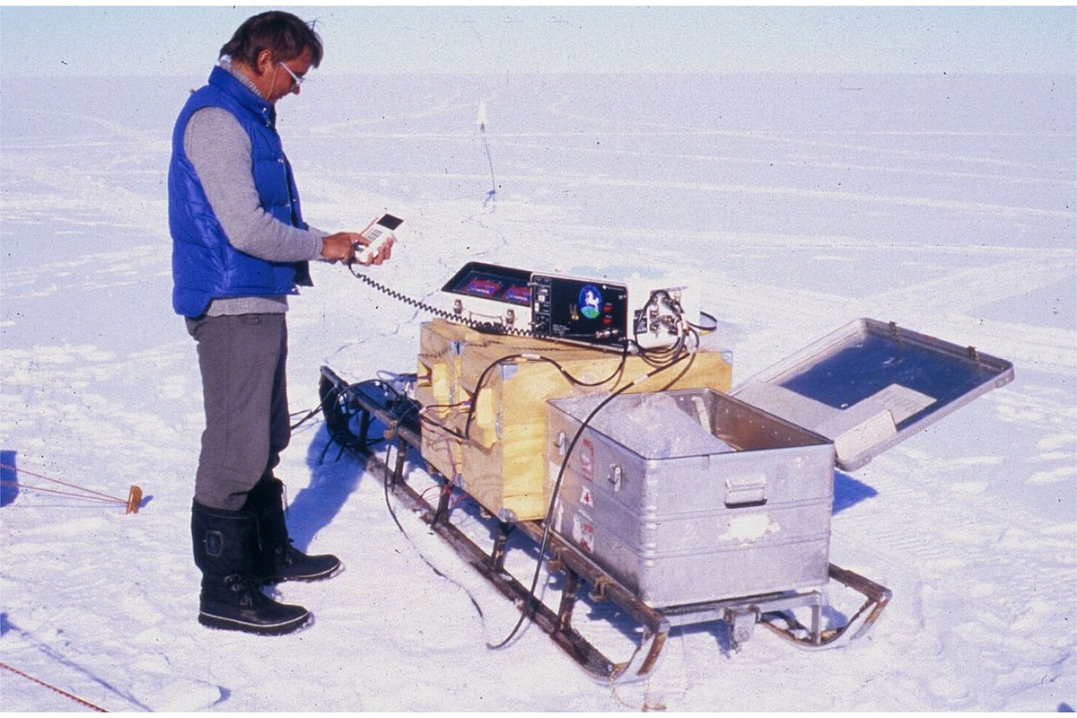
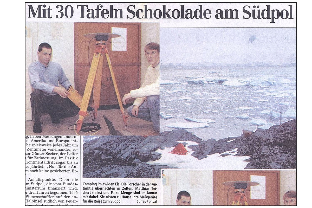
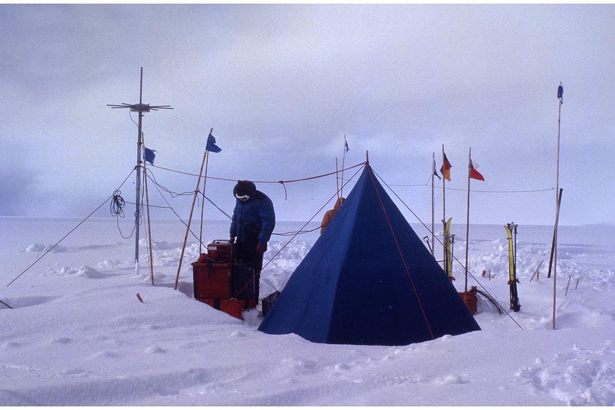
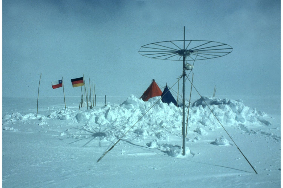
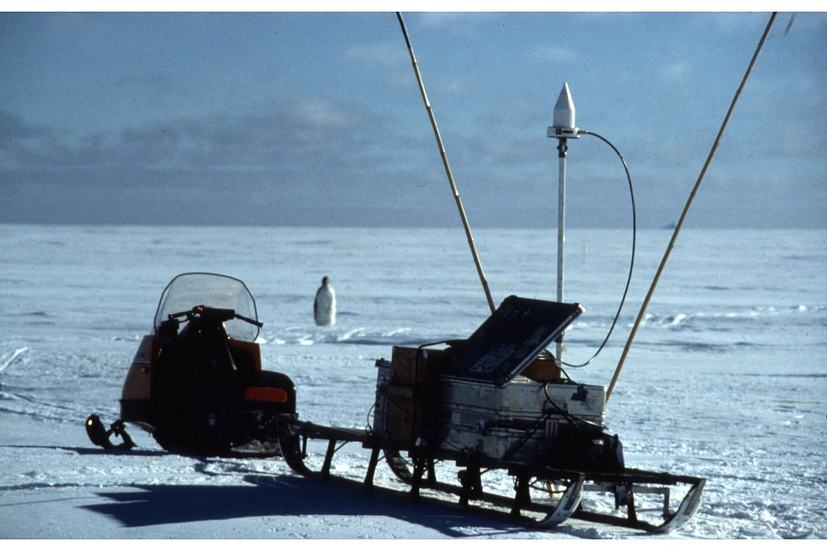
GPS measurements in Antarctica
Doppler measurements in Tansania
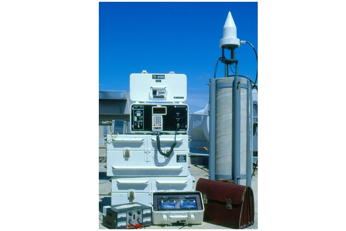
TI4100 receiver
Preparations at IfE for a measurement campaign in Antarctica
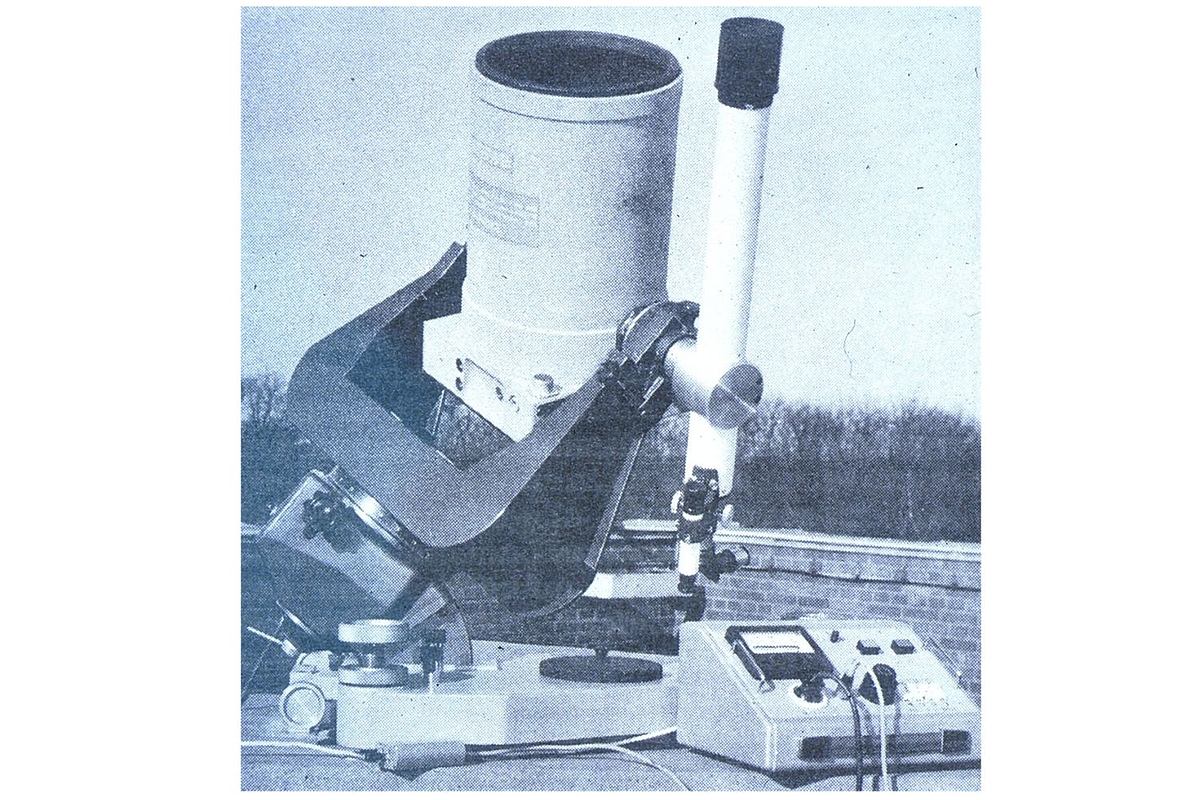
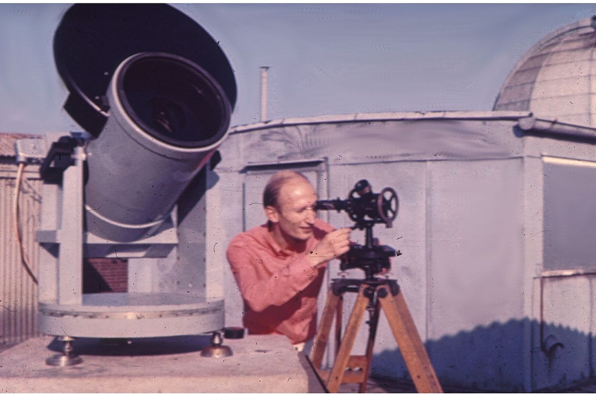
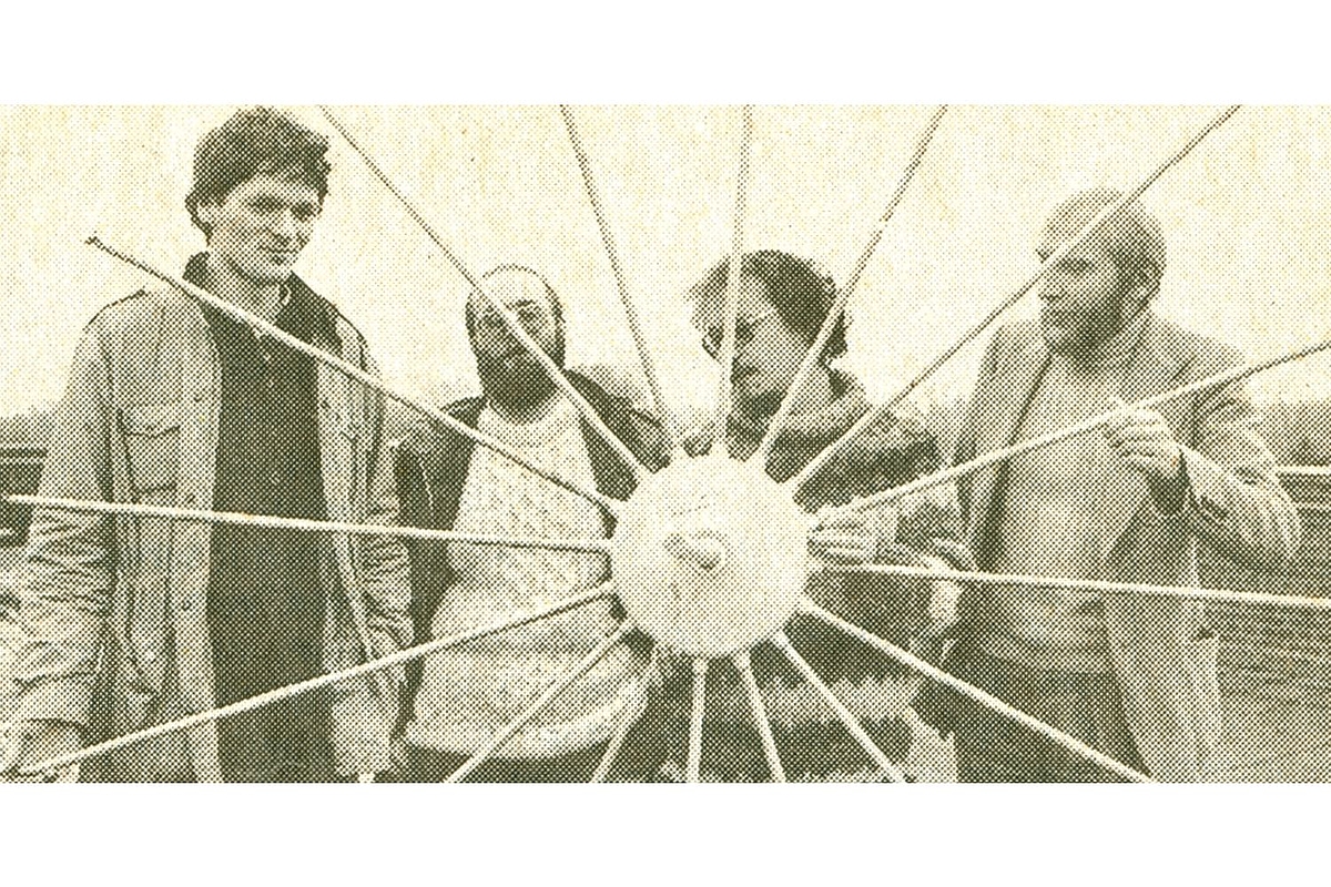
Satellite camera
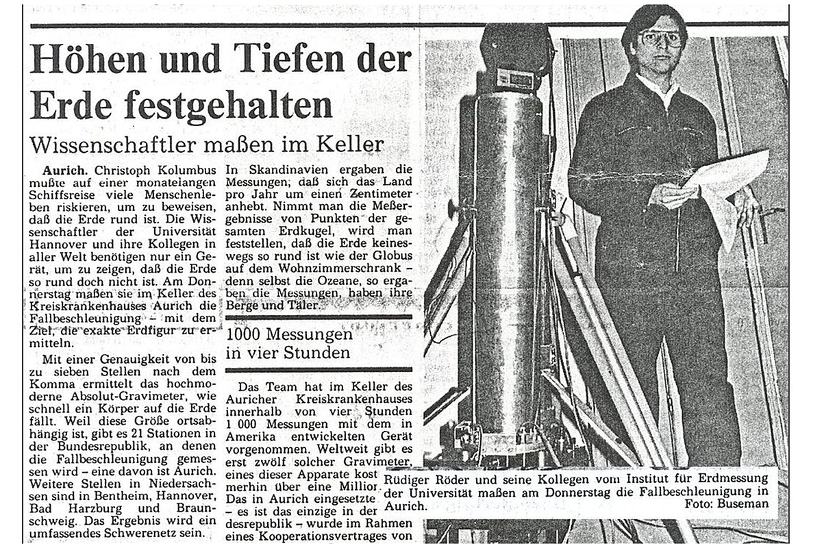
Absolute gravimetry in the newspaper: JILAg-3
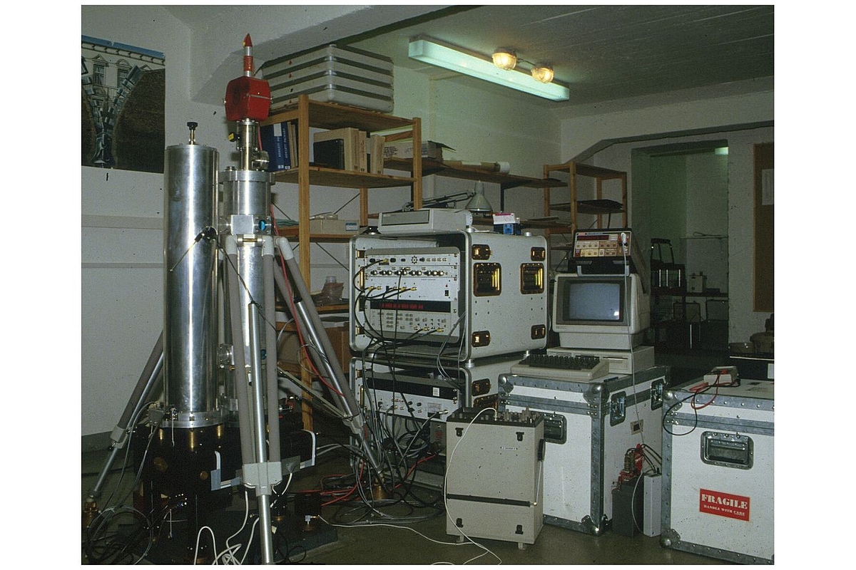
Measurements done in the Gravimetry Lab using a JILAg-3 absolute gravimeter
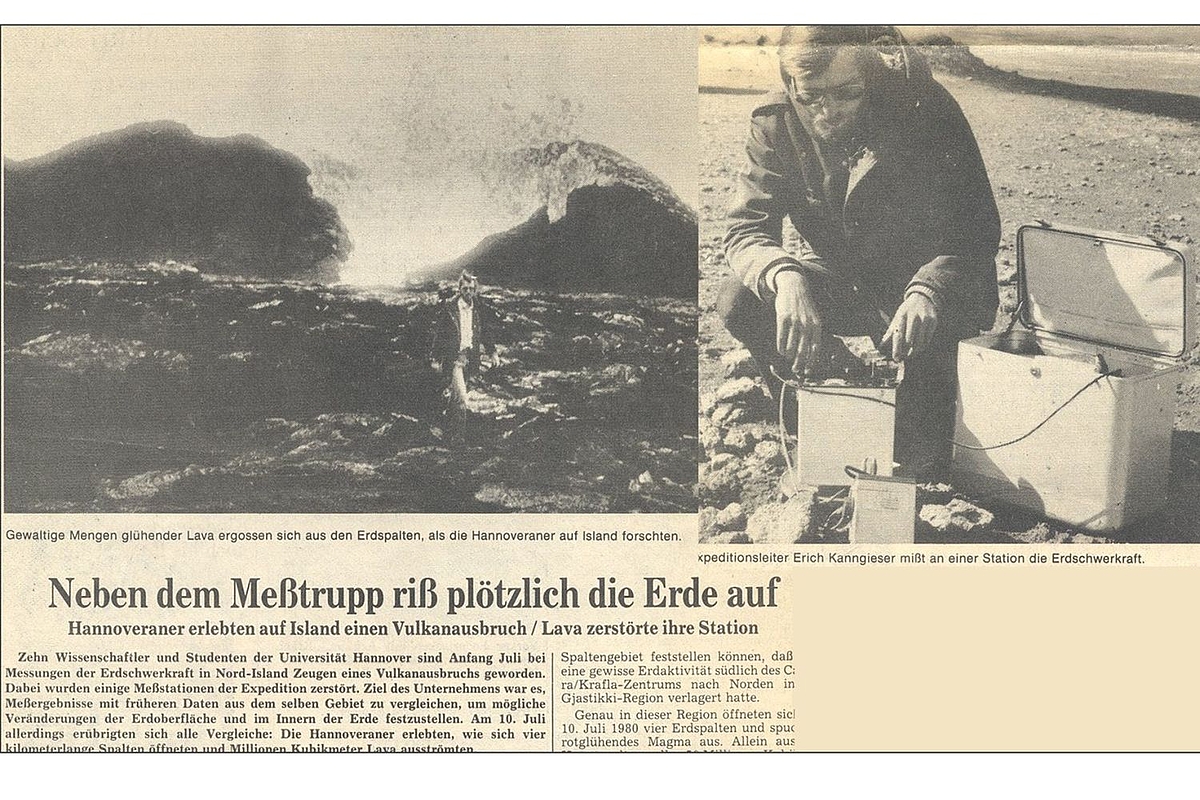
The Earth is opening up right next to the scientists during a measurement campaign in Iceland.
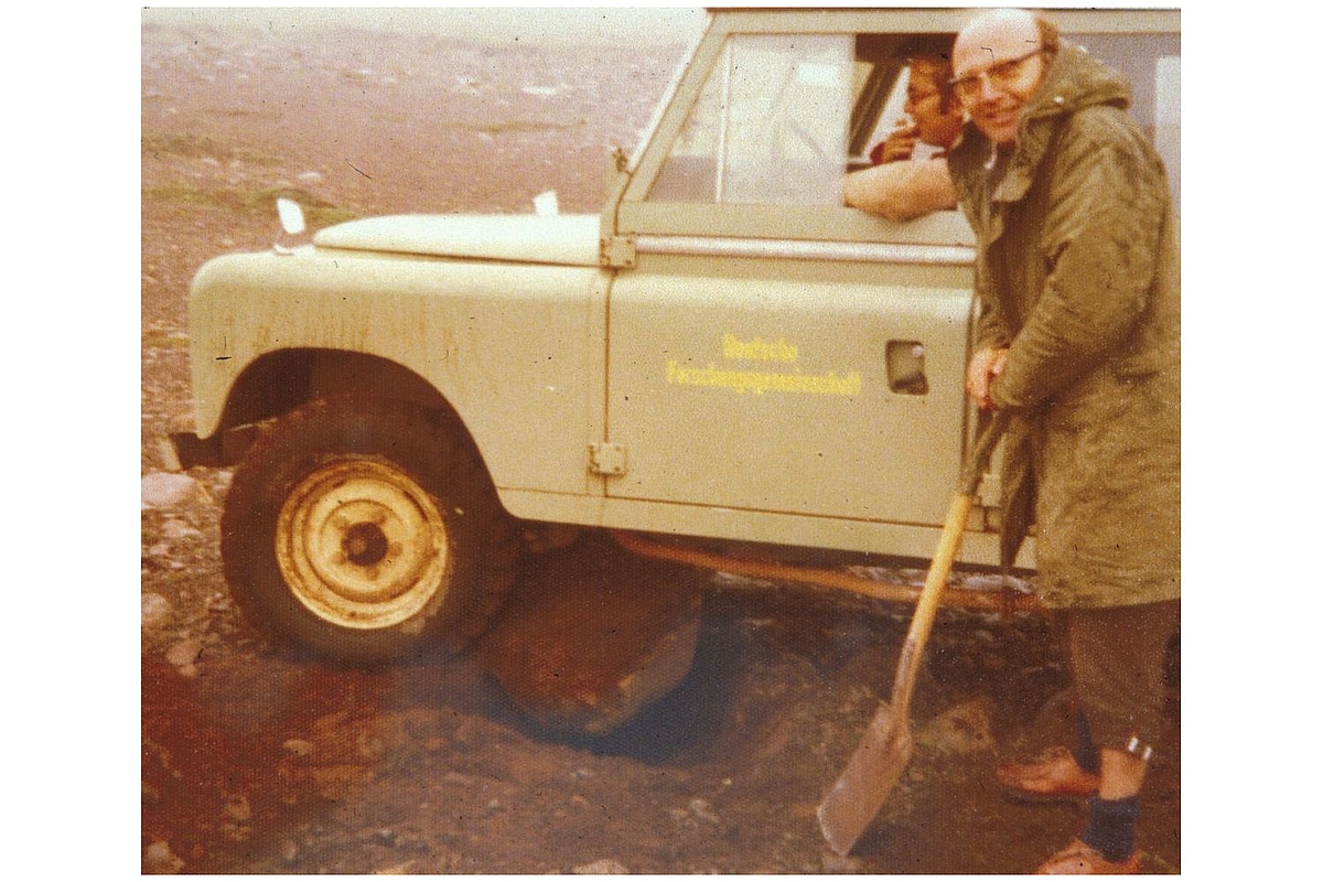
Prof. Dr. Torge during a measurement campaign in Iceland.
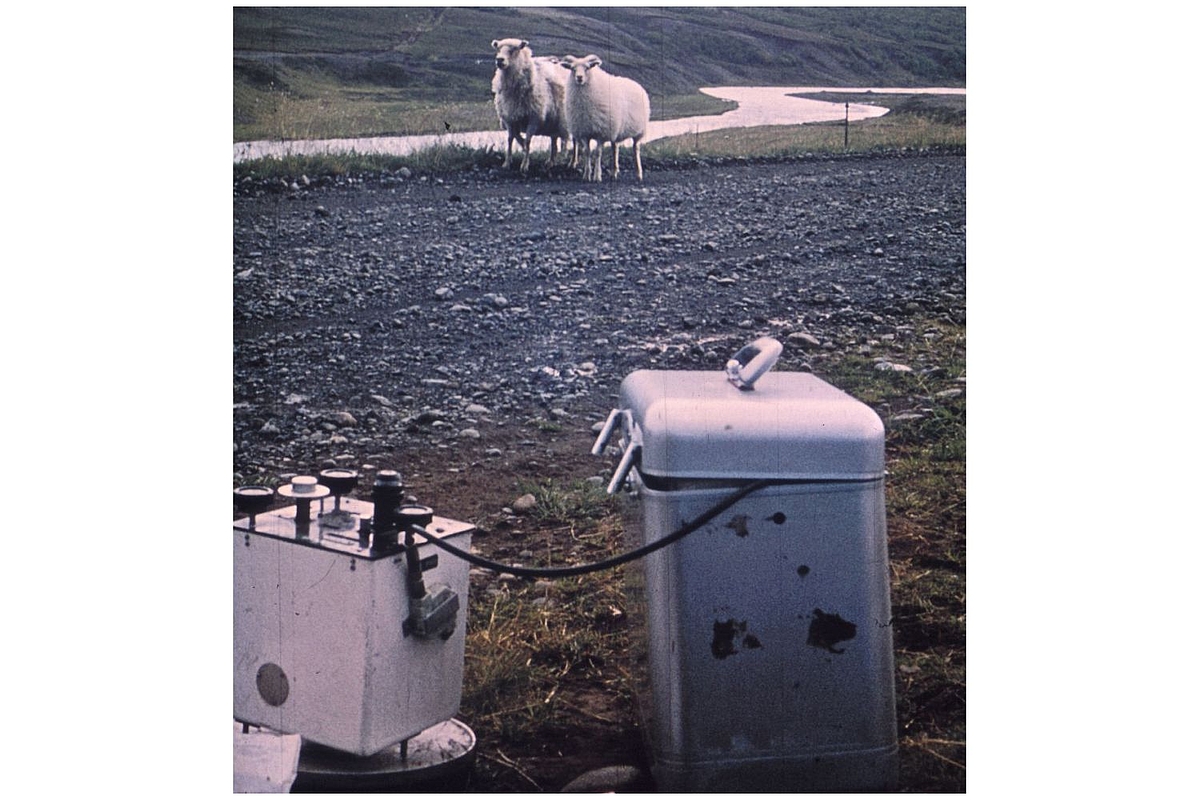
Relative gravimeter measurements in Iceland.
Doppler measurements in Venezuela
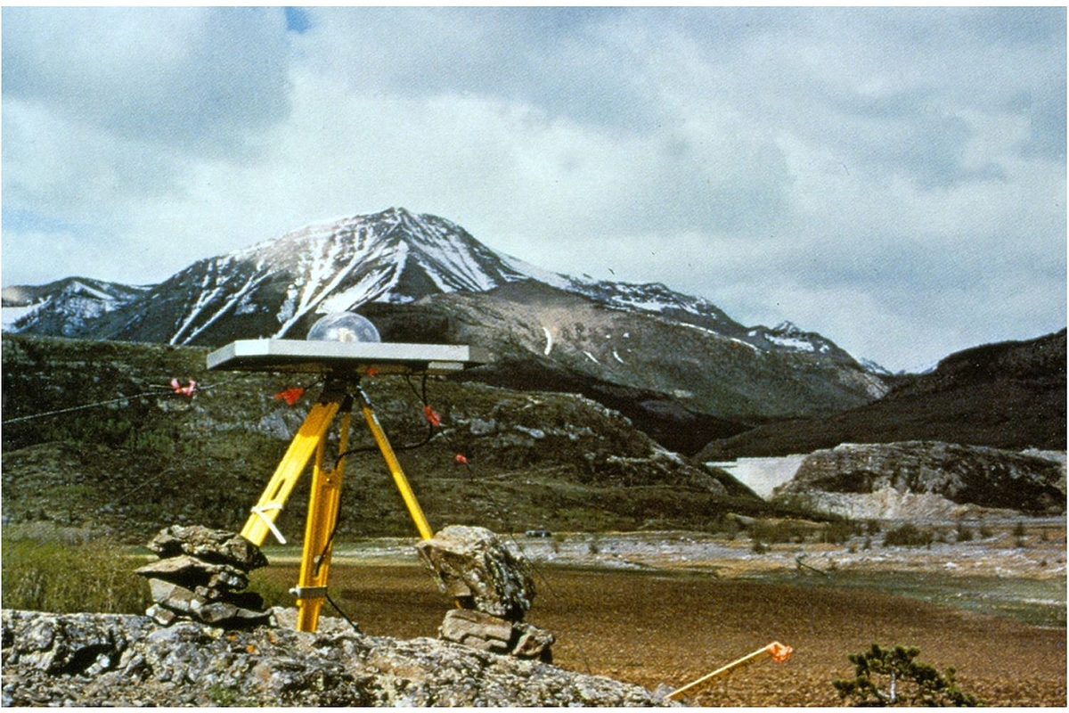
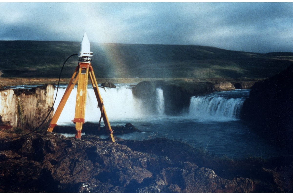
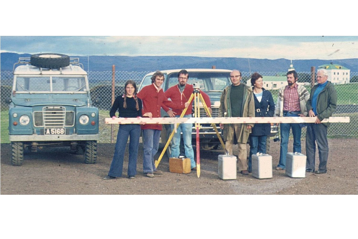
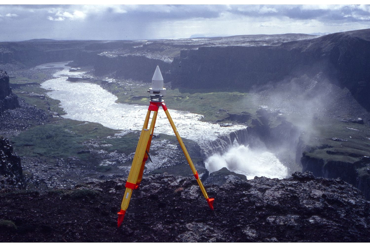
GPS measurements in Iceland
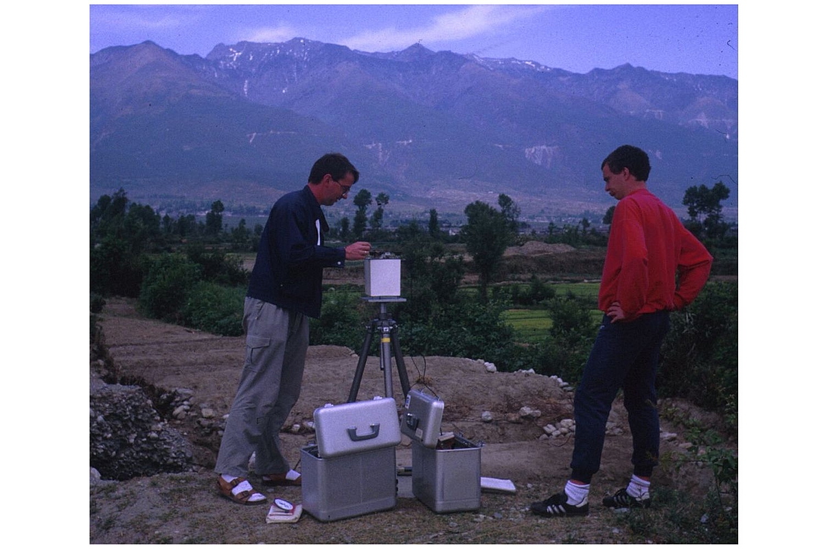
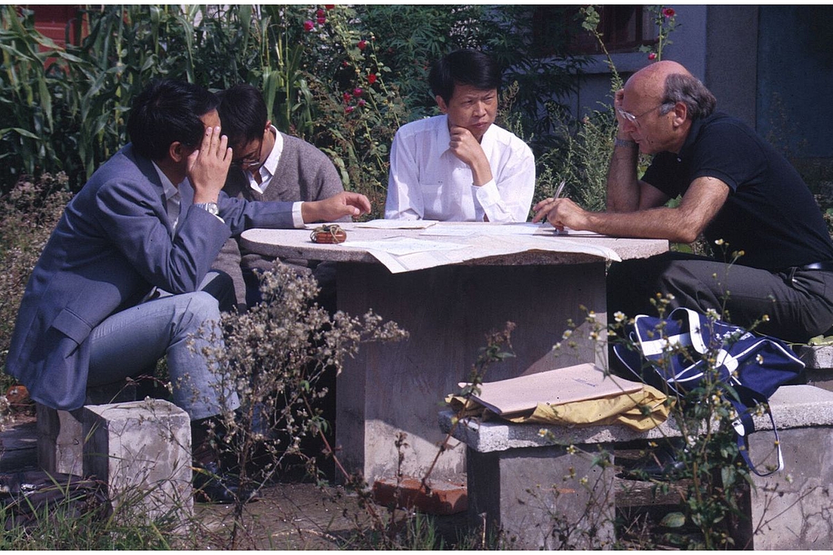
Measurement campaign in China
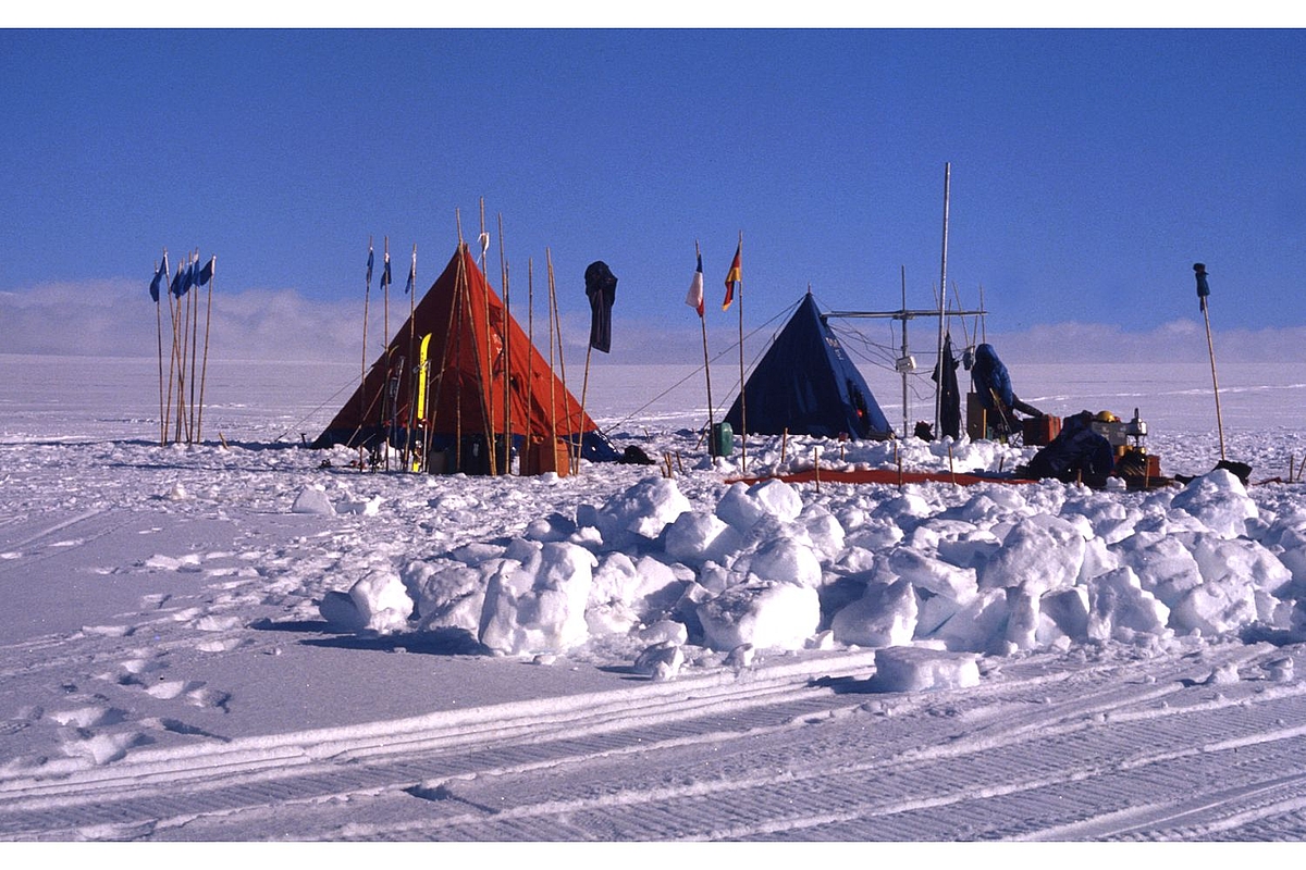
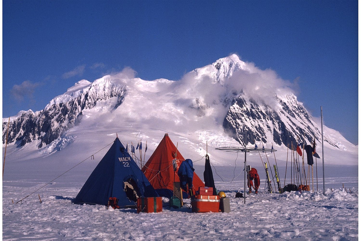
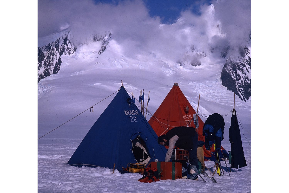
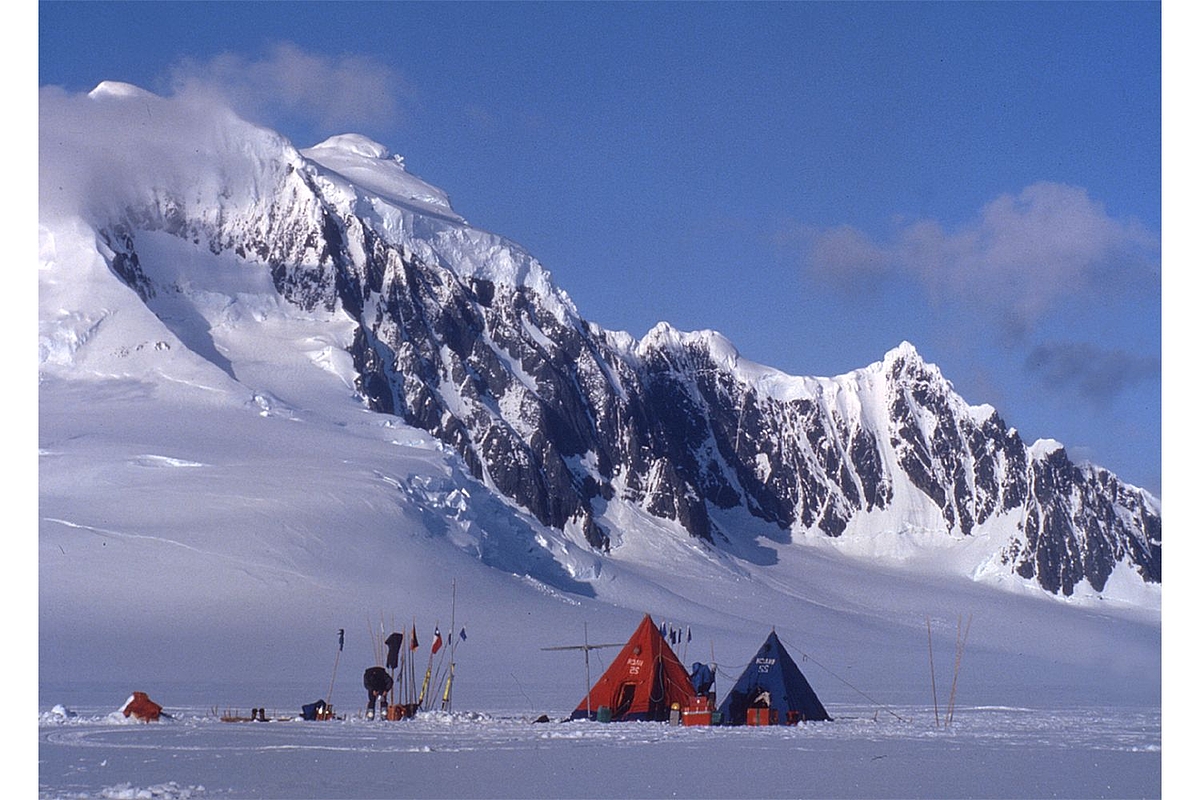
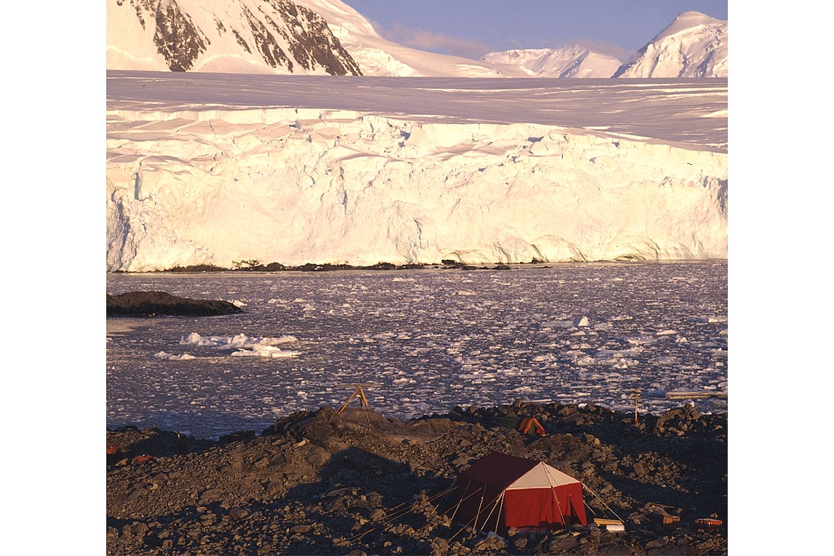
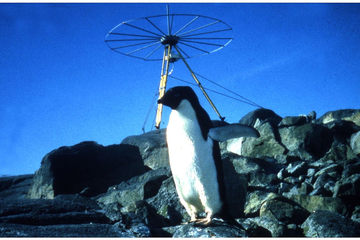
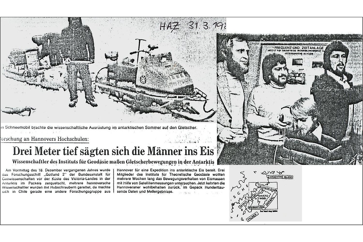
Measurement campaign in Antarctica
Measurement campaign in Antarctica
Measurement campaign in Antarctica
Measurement campaign in Antarctica
Measurement campaign in Antarctica
Measurement campaign in Antarctica
Doppler measurements in Antarctica
Measurement campaign in Antarctica
Measurement campaign in Antarctica
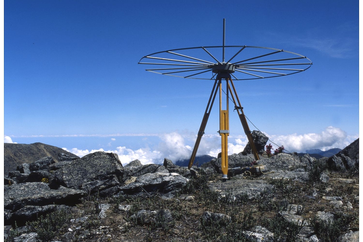
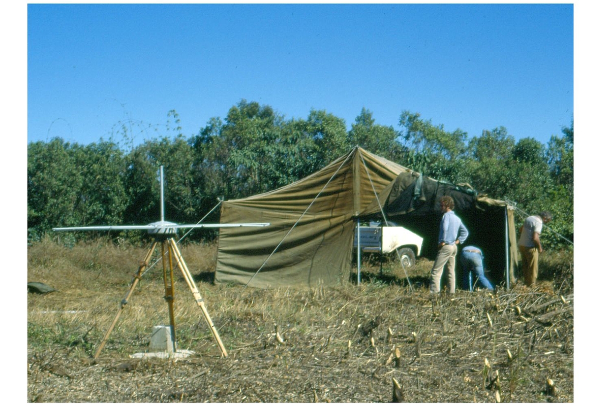
Measurement campaign in the Andes
Doppler measurements in Tansania
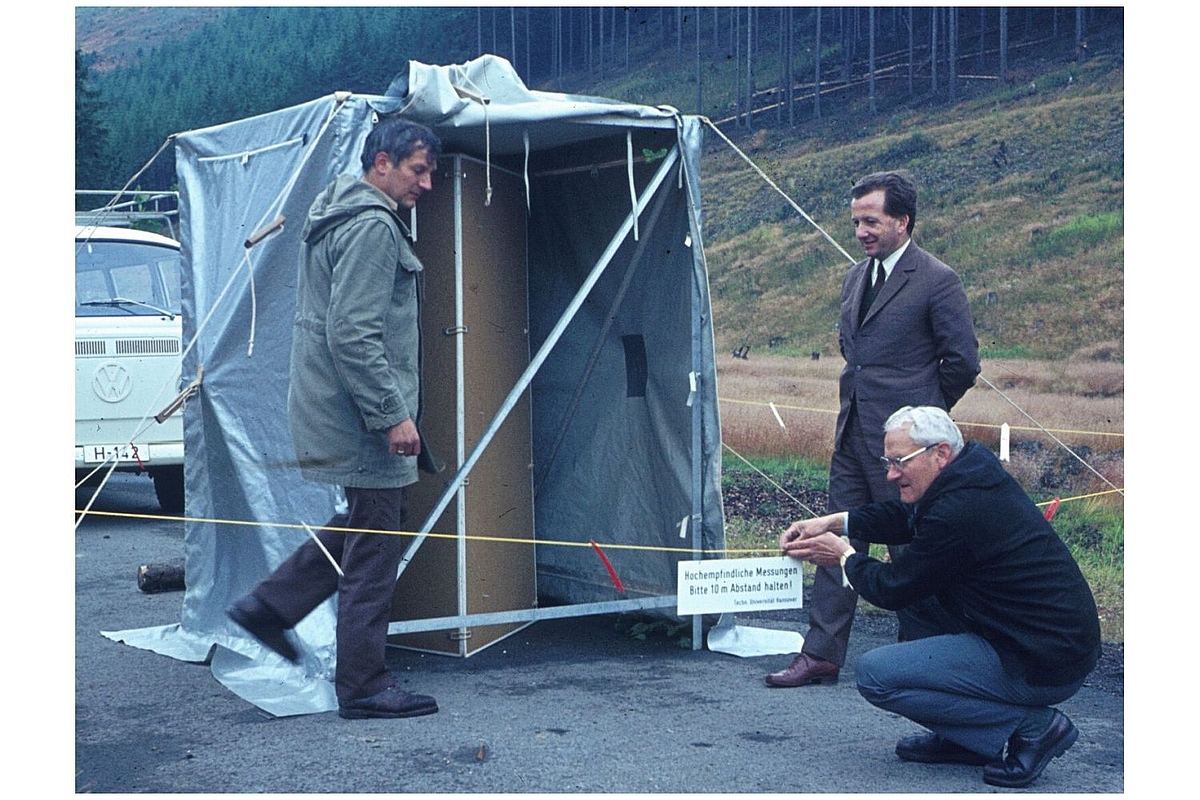
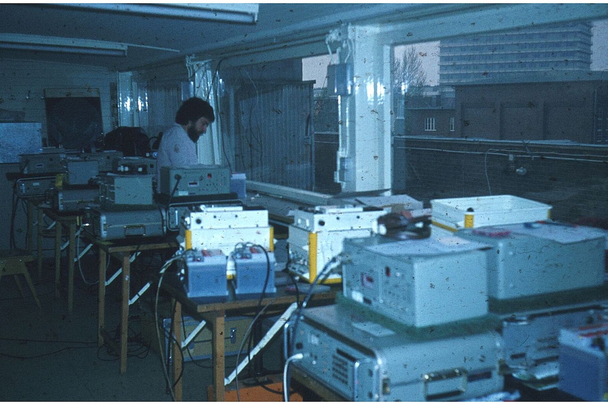
The "Messdach", the rooftop lab on the rooftop of the Geodetic Institute
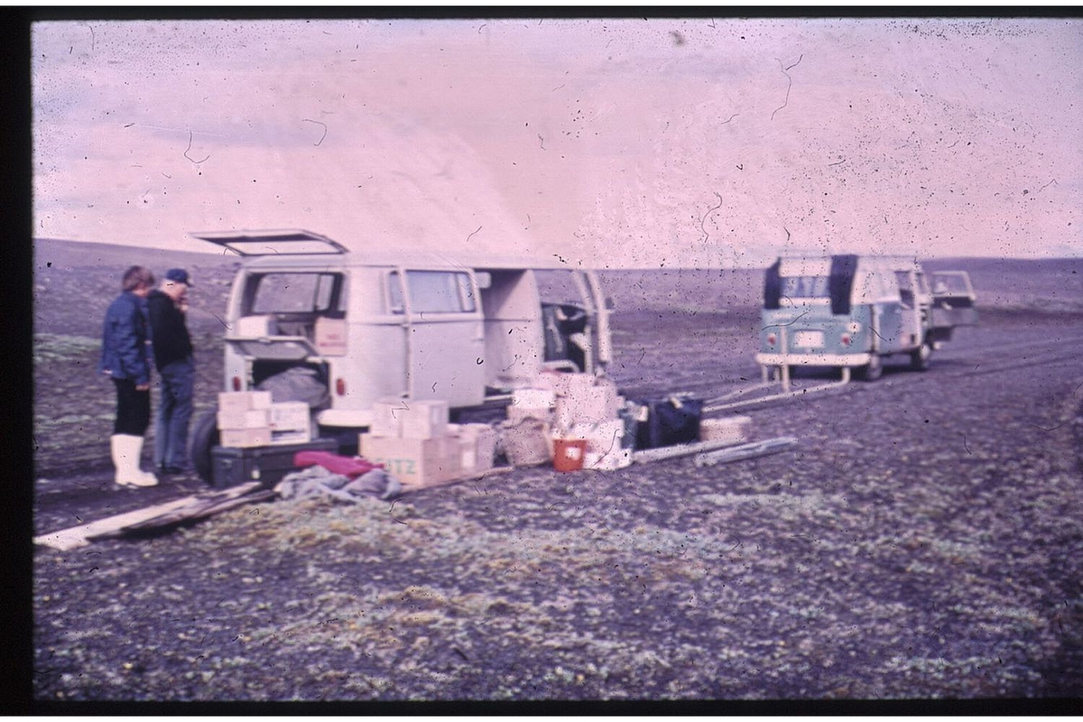
Measurement campaign in Iceland
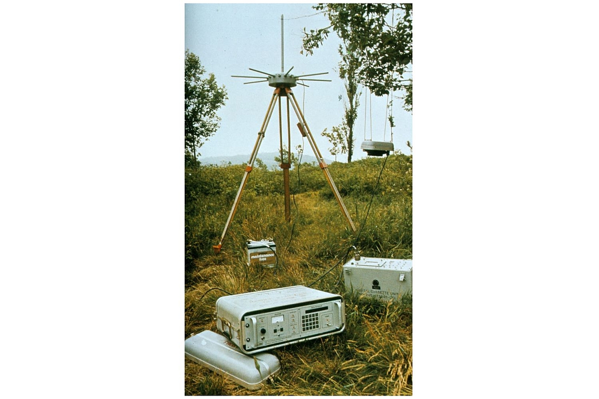
Doppler measurements
Relative gravimetry
Article in the "Hannoversche Allgemeine Zeitung" about the measurement campaign in Antarctica
GPS measurements in Iceland
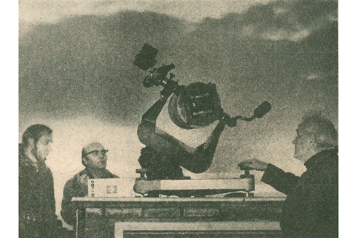
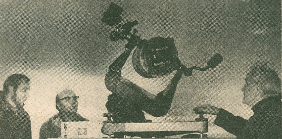
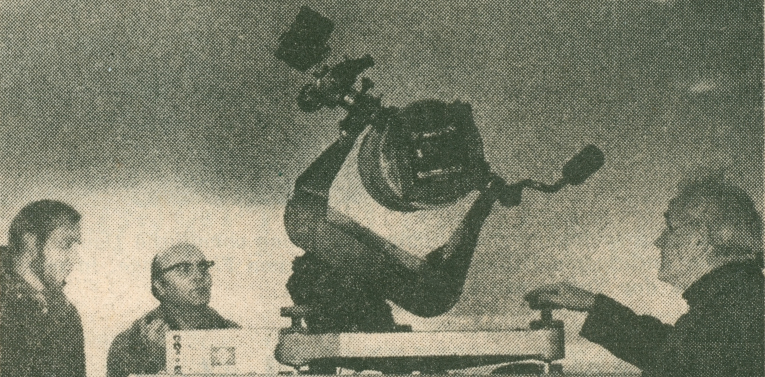
Prof. Seeber, Prof. Torge an Mr. Muehle in January 1974 on the Messdach (rooftop lab) of the GIH (Nienburger Str. 1) with the optical satellite camera K37.
Last Change: 08.09.22; webmaster