 ©
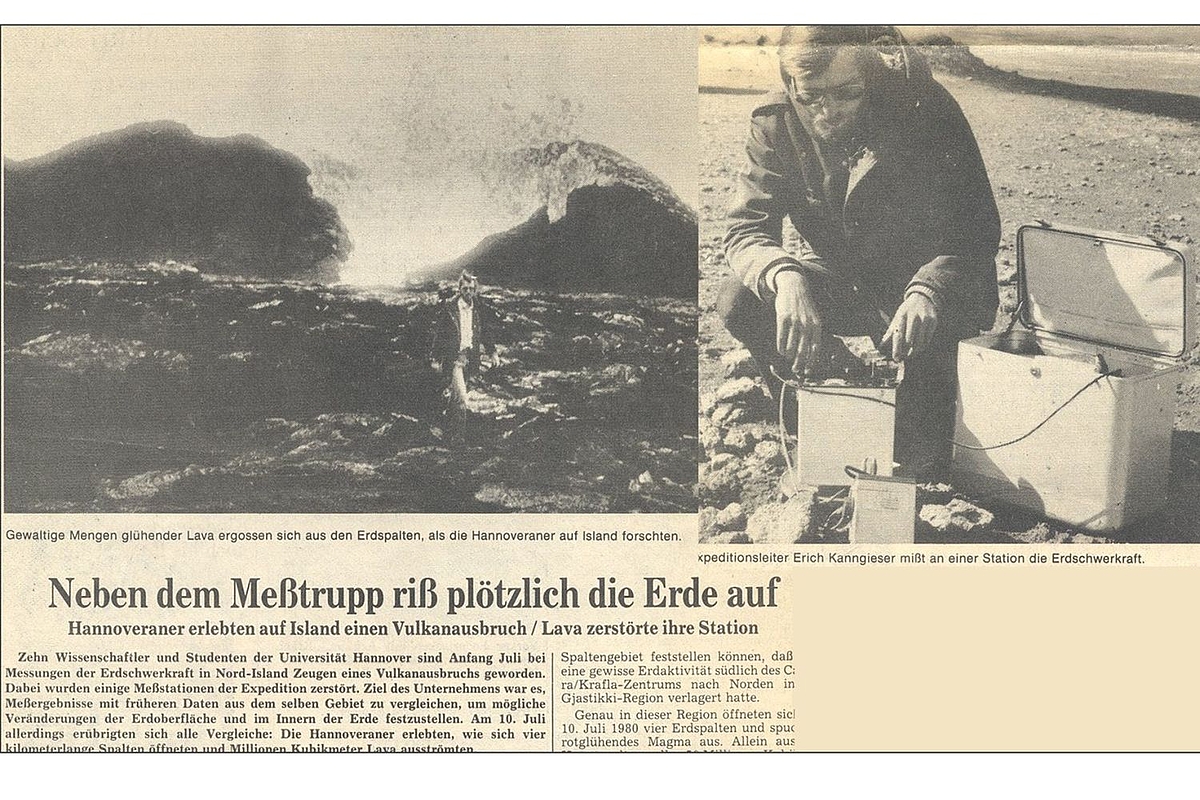
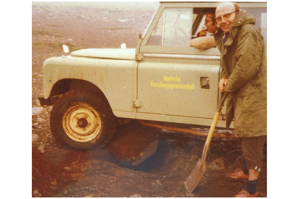
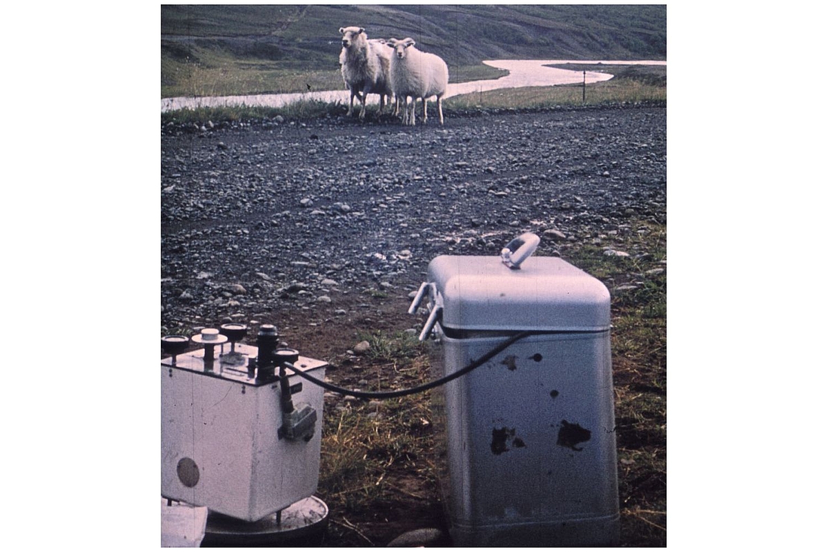
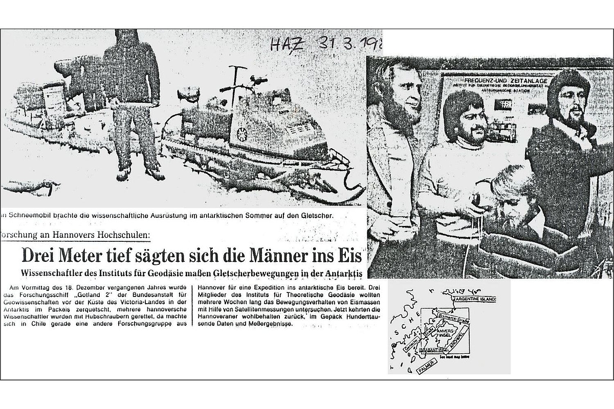
IfE / 1974
| 01.11.1963 | Appointment of Dr.-Ing. Walter Höpke as full professor to the chair of Theoretical Geodesy, University Hannover |
| 10.11.1964 | The Institute of Theoretical Geodesy is founded with Prof. Dr.-Ing. Walter Höpcke as director |
| 01.09.1968 | Appointment of Dr.-Ing. Wolfgang Torge as full professor and as director of the Institute of Theoretical Geodesy |
| 26.10.1973 | Appointment of Dr.-Ing. Günter Seeber as full professor and as department head of the Astronomy Station |
| 01.10.1982 | The Institute of Geodesy is founded (based on the Niedersächsisches Hochschulgesetz from 1978, Chair and Institute of Theoretical Geodesy are terminated). Prof. Dr.-Ing. Günter Seeber and Prof. Dr.-Ing. Wolfgang Torge hold alternatingly the office of executive director. |
| 1996 | Retirement of Prof. Dr.-Ing. Wolfgang Torge (em.) |
| Januar-November 1999 | Appointment of Prof. Dr.-Ing. habil. Hans-Georg Wenzel to the research field Mathematical and Physical Geodesy |
| Oktober 2001 | Appointment of Prof. Dr.-Ing. habil. Jürgen Müller to the research field Physical Geodesy and Space Geodetic TechniquesPhysical Geodesy and Space Geodetic Techniques |
| Oktober 2006 | Prof. Dr.-Ing. Günter Seeber wechselt in den Ruhestand (a.D.) |
| November 2006 | Appointment of Prof. Dr.-Ing. Steffen Schön for the research field Satellite Geodesy. The denomination is changed to Positioning and Navigation - a clear indication for the continuous changes and dynamic development within Satellite Geodesy. |
| 2008 | Based on the successful cooperation with Physics at Leibniz University Hannover and the resulting excellence cluster Quantum Engineering and Space Time Research (QUEST) Prof. Dr.-Ing. Jakob Flury was appointed to the new professorship Geodetic Space Sensor Technology and Gravity Field. |
The institute's historical development has been described in more detail in several commerative publications on the occasion of special honorary events.
Commemorative Publication 30 Years IfE
PDF,
6 MB
Commemorative Publication 50 Years IfE
PDF,
4 MB

